


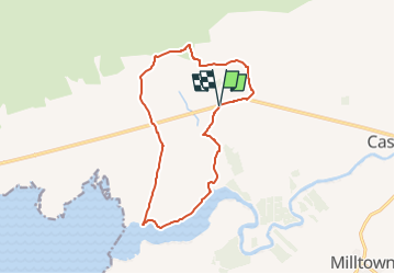

9,7 km | 10,5 km-effort


Tous les sentiers balisés d’Europe GUIDE+


Kostenlosegpshiking-Anwendung
 SityTrail
IGN / Geografische Institute
SityTrail World
Die Welt öffnet sich für Sie
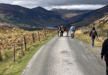
Tour Zu Fuß von 12 km verfügbar auf Unbekannt, County Kerry, Kenmare Municipal District. Diese Tour wird von SityTrail - itinéraires balisés pédestres vorgeschlagen.
OSi Discovery Series Sheet 71
Website: http://www.irishtrails.ie/Trail/Keel-Uphill-Downhill-Loop-Walk/666/


Zu Fuß
Zu Fuß
Wandern
Wandern
Wandern

Auto

Wandern
Wandern
Wandern